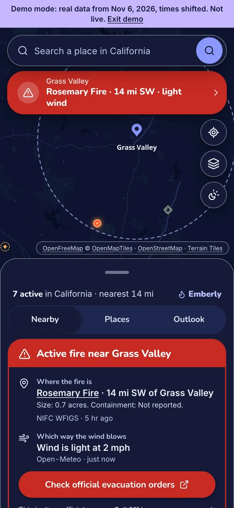
Alert mode
A fire inside a place’s radius turns the page red and answers three things. Where it is, which way the wind blows, and where the official orders are. Replayed in Demo mode.

A live California wildfire map: nearby fires, fire weather and official evacuation orders.
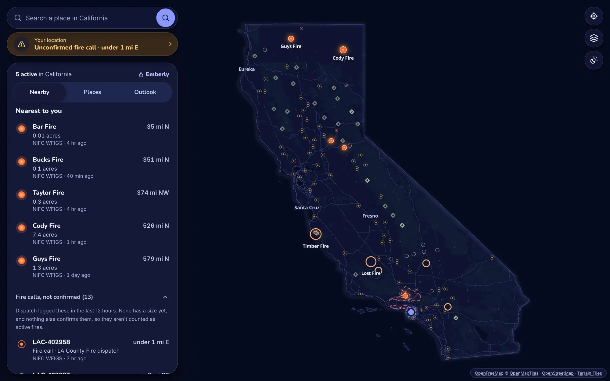
Seven live public sources, and no API keys. The server pulls each feed on its own schedule, checks every record on its own, and matches incident reports, CAL FIRE, perimeters and satellite heat into one list of fires, each with a status backed by evidence.
A fire inside a place’s radius turns the page red and answers three things. Where it is, which way the wind blows, and where the official orders are. Replayed in Demo mode.
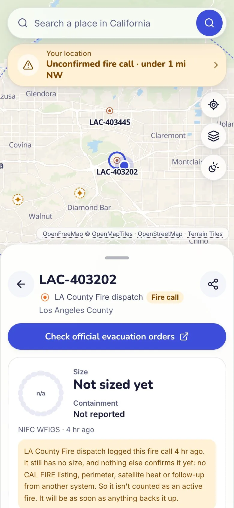
LA County dispatch logged it with a placeholder size and nothing since. It’s listed and explained, not alarmed.
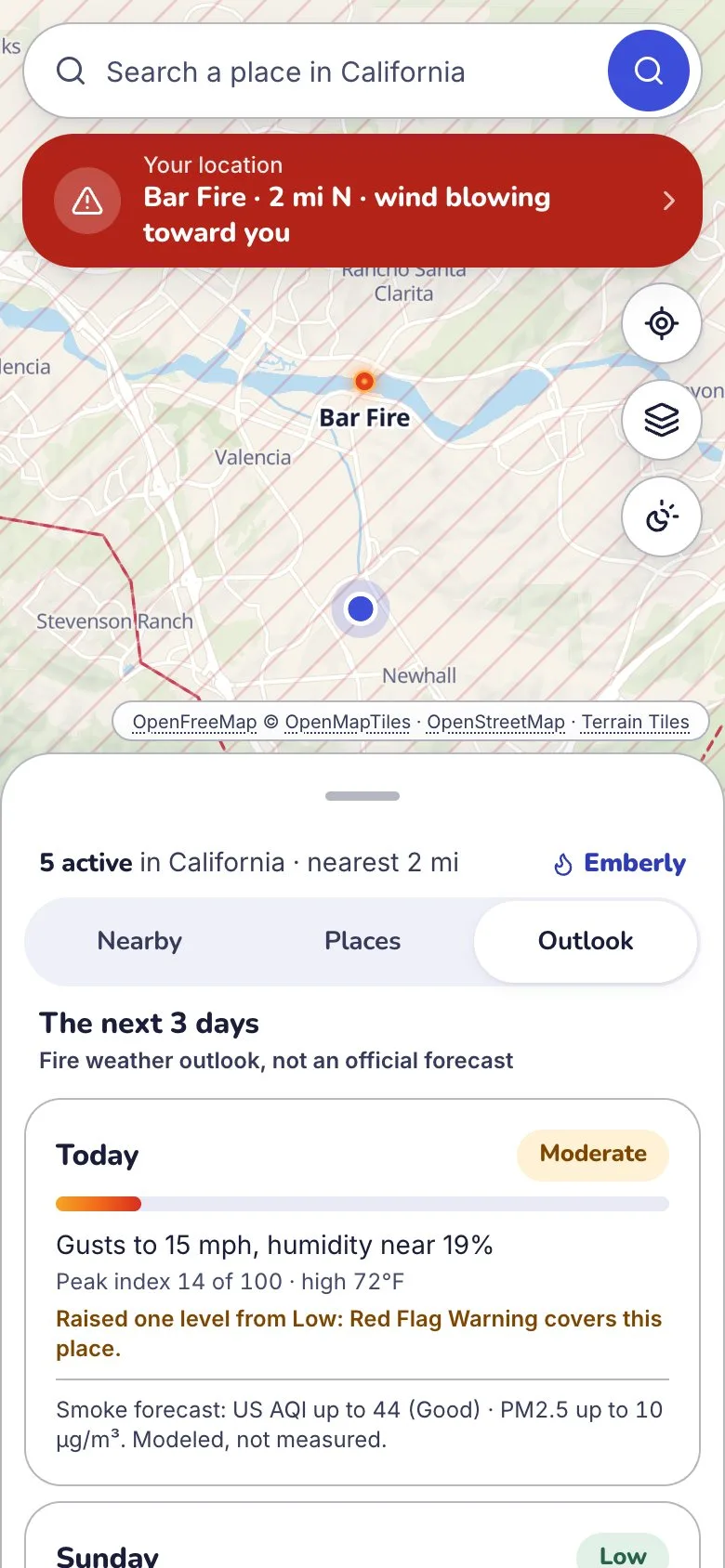
Three days of fire weather from the Fosberg index, raised a level where a Red Flag Warning applies, with a modeled smoke forecast.
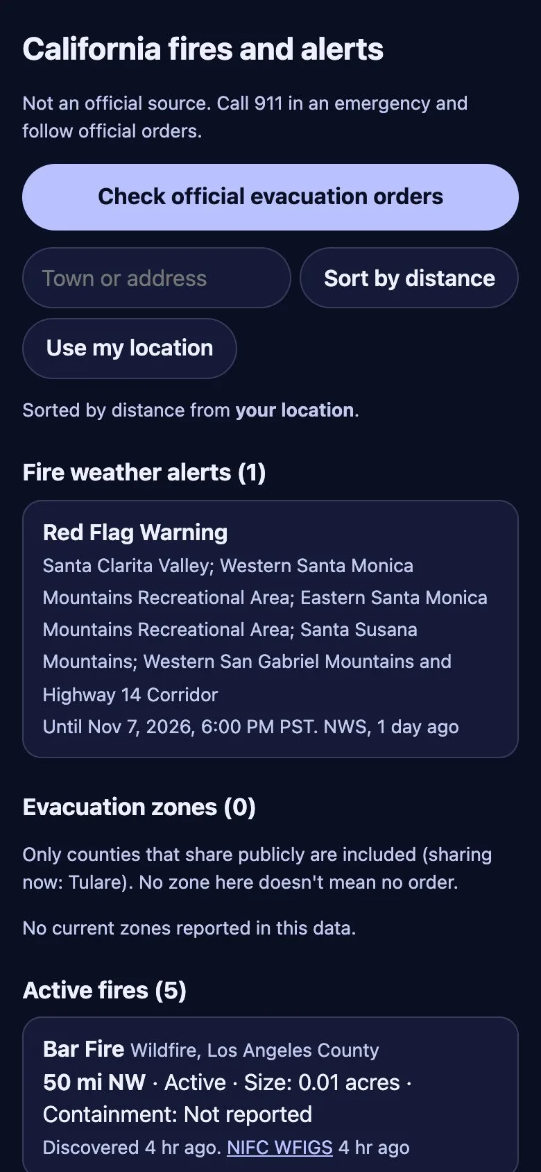
Plain HTML with no framework JavaScript. Works with scripts off and on a weak signal.
Most records never report containment. A fire counts as active only if it’s recent for its size, CAL FIRE lists it, or satellites see heat inside its perimeter.
LA County’s dispatch files a 0.01-acre record for every wildland call and rarely touches it again. Until something backs one up, it’s a fire call, never an alarm.
The map is masked to the Census state outline. Wind, satellite heat and place search all stop at the state line.